
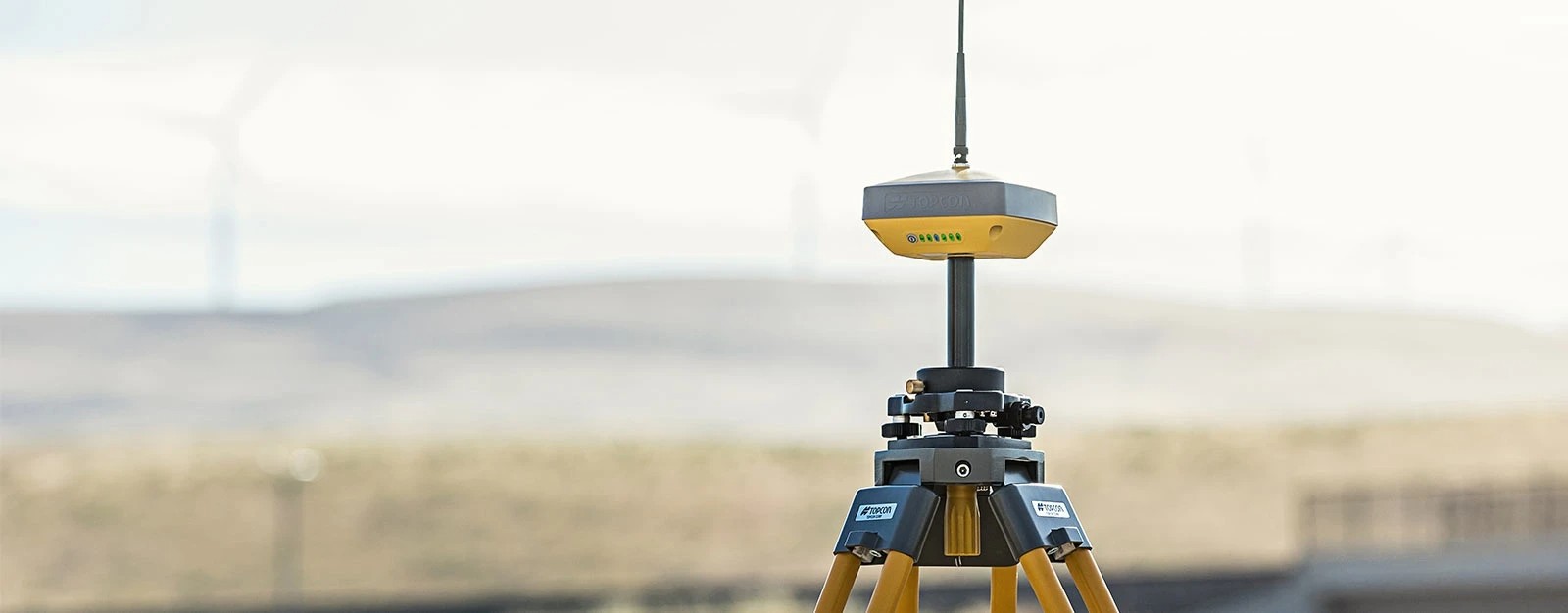
Description
GPS Geodetic Topcon HiPer-VR ini dikemas dengan teknologi GNSS tercanggih dalam desain yang dibuat untuk tahan terhadap lingkungan atau lapangan yang paling keras. Menggunakan chipset GNSS canggih Topcon dengan Teknologi Saluran Pelacakan Universal, HiPer VR secara otomatis melacak setiap sinyal satelit di atas – sekarang dan di masa depan.
Semua sinyal, semua satelit, dan semua konstelasi — dalam desain yang ringkas dan kokoh, dengan IMU dan eCompass terintegrasi.
Topcon HiPer-VR ini dapat digunakan untuk survei pasca-proses GNSS statis atau kinematik, sebagai penjelajah RTK jaringan dengan modem seluler 4G/LTE internal FC-5000, sebagai penjelajah RTK lokasi kerja UHF/FH/Longlink, dan juga dalam alur kerja Pemosisian Hibrid yang dipatenkan Topcon .
Fitur Topcon HiPer-VR
- Teknologi pelacakan universal untuk semua satelit dan konstelasi (GPS, GLONASS, Galileo, Beidou, IRNSS, QZSS, SBAS) yang mencakup semua sinyal modern
- Diuji di lapangan, desain IP67
- Faktor bentuk ringkas ideal untuk GPS Milimeter dan Pemosisian Hibrida
- IMU 9-sumbu yang revolusioner dan eCompass 3-sumbu ultra-kompak
- Modem Radio UHF Tx/Rx 400 MHz terintegrasi
- Lisensi Terintegrasi gratis Modem Radio 900 MHz, protokol FH915
Specifications GPS Geodetic Topcon HiPer-VR
| GNSS Tracking | Accuracy | |||||
| Number of Channels | 226 with Topcon’s patented Universal Tracking Channels™ technology. | Fast Static (L1+L2) | H: 3 mm + 0.4 ppm | |||
| Signals Tracked | GPS Signals: | V: 5 mm + 0.5 ppm | ||||
| L1 C/A, L1C* L2C, L2P(Y), L5 | RTK (L1+L2) | H: 5 mm + 0.5 ppm | ||||
| V: 10 mm + 0.8 ppm | ||||||
| GLONASS: | Compensator Tilt Sensor* | H: 1.3 mm/°Tilt; | ||||
| L1 C/A, L1P, L2C/A, L2P, L3C* | Tilt ≤ 10° | |||||
| H: 1.8 mm/°Tilt; | ||||||
| Galileo: | Tilt > 10° | |||||
| E1/E5a/E5b/Alt-BOC | DGPS | 0.25 m HRMS | ||||
| *Maximum recommended angle for tilt compensation is 15°.** | ||||||
| BeiDou/BDS: | ||||||
| B1, B2 | Power and Electrical | |||||
| Operation Time | RX mode – 10hr | |||||
| IRNSS: | TX mode 1W – 6hr | |||||
| L5 | ||||||
| General | ||||||
| SBAS: | Radio | 405-470 MHz UHF radio | ||||
| WAAS, EGNOS, MSAS, GAGAN (L1/L5§) | Max Transmit Power: 1W | |||||
| Range: 5-7 km typical; 15 km | ||||||
| L-band: | Memory | Internal Non-removable 8 GB SDHC | ||||
| TopNET Global D & C Corrections services | ||||||
| Physical and Environmental | ||||||
| QZSS: | Ingress Protection | IP67 | ||||
| L1 C/A, L1C, L1-SAIF, L2C, L5 | Operating Temperature | ‘ -40ºC to 65ºC | ||||
| *L1C – | Humidity | 100%, condensing | ||||
| **L3C – | Drop Test | 1.0 m drop to concrete. 2.0 m pole drop to concrete. | ||||
| ***L5 – | Dimensions | 150 x 100 x 150 mm (w x h x d) | ||||
| Weight | ‘ <1.15 kg | |||||
Complete set:
- 1 Base dan 1 Rover
- Assy, Unit utama GPS
- OAF, GLONASS L1 L2 Tracking
- OAF BEIDOU B1/B2 TRACKING
- Antenna UHF 425-470 Male BNC
- Hard Carry Case
- Bipod
- Software Untuk di kontroller Magnet Field GPS Subs 3 Years
- Data Kontroller FC-500 w/o camera
- Bracket forData Kontroller
- Litepole / Pole ( Allumunium Rod )
- Software Post Procces, Magnet Office Post Pro Subs 3 years
- Tribrach w/optical plummet
- Rotating Tribrach Adaptor
- Wooden Tripod


Reviews
There are no reviews yet.